|
RSA - SOUTH AFRICA |
| BLUE CIRCLE RACEWAY |
| Description |
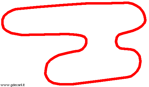
Map shown here is taken from a very low quality published by Autosprint. It’s completely different from track layout visible on aerial photo. I don’t know if it’s a different track or (more likely) if it’s a completely wrong map of the same track |
| Location |
Lichtenburg - North West |
| Location |
Eastern suburb of Lichtenburg |
| Latitude - Longitude |
- 26°09'08" + 26°11'09"
-26.152222 26.185833 |
| UTM Coordinates |
X = 418623.676 - Y = 7107203.513 - Zone 35J |
| Aerial photo / Map (*) |
 OpenStreetMap - Google Maps - Bing Maps - Flash Earth - Wikimapia OpenStreetMap - Google Maps - Bing Maps - Flash Earth - Wikimapia |
| Altitude AMSL |
1488 m - 4882 ft |
| Inauguration |
|
| Closing |
|
| Designer |
|
| Sources and links (Translation) (**) |
|
 Clockwise
 Proposal